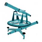
Bavaria was the first precisely surveyed state in Europe. In about 1800, Bavaria, then a newly formed state of 70 territories, urgently needed money. The primary source of income at that time was from taxes on land and buildings. To calculate this, it was necessary to survey the land with tools such as the theodolite. Maps provided an image of the countryside and included natural as well as man-made features. As such, they were used as a basis for all forms of development for the state, private developers, the military, and even for developments in science and technology. Maps of the Anthropocene would show a world dominated by mankind. They can represent interactions and illustrate the consequences of our actions for the planet.
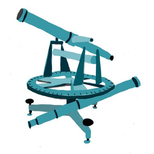
Drawn by Leo Koppelkamm, 2014.
 This work is licensed under a Creative Commons Attribution-NonCommercial-NoDerivatives 4.0 International License.
Measuring Bavaria - The theodolite
Text and images by Leo Koppelkamm
University of the Arts (UdK), Berlin
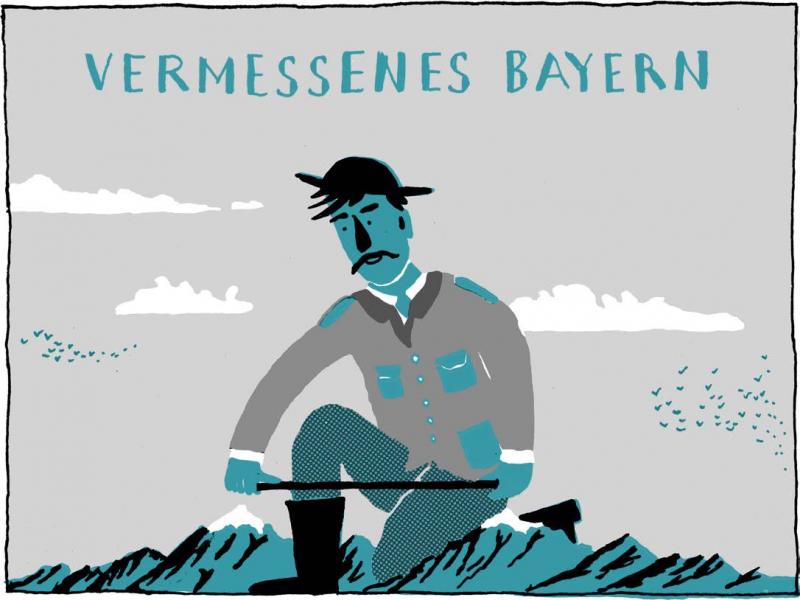
Measuring Bavaria
Measuring Bavaria
Drawn by Leo Koppelkamm , 2014.  This work is licensed under a Creative Commons Attribution-NonCommercial-NoDerivatives 4.0 International License.

“Many years ago, when Grandpa was still young, strange things happened in this village.”
“Many years ago, when Grandpa was still young, strange things happened in this village.”
Drawn by Leo Koppelkamm , 2014.  This work is licensed under a Creative Commons Attribution-NonCommercial-NoDerivatives 4.0 International License.
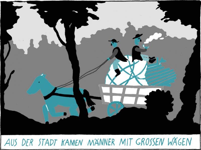
Men with big wagons came from the city.
Men with big wagons came from the city.
Drawn by Leo Koppelkamm , 2014.  This work is licensed under a Creative Commons Attribution-NonCommercial-NoDerivatives 4.0 International License.

And built long fences along the fields.
“We are measuring the distance from Föhring to Aufkirchen!”
And built long fences along the fields.
“We are measuring the distance from Föhring to Aufkirchen!”
Drawn by Leo Koppelkamm , 2014.  This work is licensed under a Creative Commons Attribution-NonCommercial-NoDerivatives 4.0 International License.
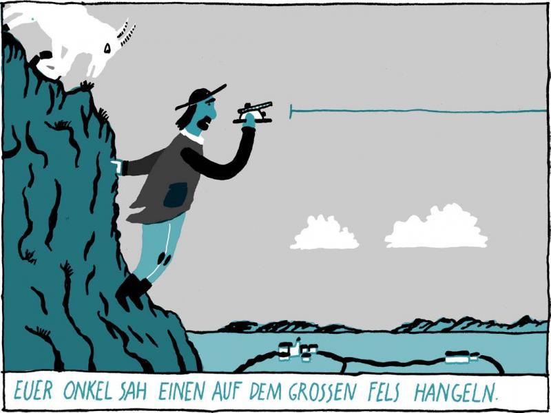
Your uncle saw one of them leaning over a cliff.
Your uncle saw one of them leaning over a cliff.
Drawn by Leo Koppelkamm , 2014.  This work is licensed under a Creative Commons Attribution-NonCommercial-NoDerivatives 4.0 International License.

In some villages they climbed on the church towers.
In some villages they climbed on the church towers.
Drawn by Leo Koppelkamm , 2014.  This work is licensed under a Creative Commons Attribution-NonCommercial-NoDerivatives 4.0 International License.
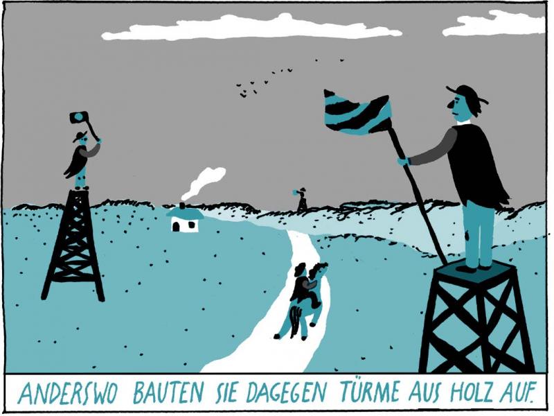
Elsewhere they built wooden towers.
Elsewhere they built wooden towers.
Drawn by Leo Koppelkamm , 2014.  This work is licensed under a Creative Commons Attribution-NonCommercial-NoDerivatives 4.0 International License.
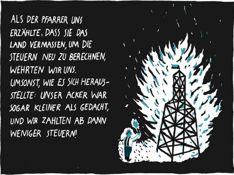
The priest told us that they are measuring the land in order recalculate the taxes, so we resisted. However, it worked well in the end: our field was smaller than we thought, so we ended up paying less taxes.
The priest told us that they are measuring the land in order recalculate the taxes, so we resisted. However, it worked well in the end: our field was smaller than we thought, so we ended up paying less taxes.
Drawn by Leo Koppelkamm , 2014.  This work is licensed under a Creative Commons Attribution-NonCommercial-NoDerivatives 4.0 International License.
Artist’s comment
At first glance, the theodolite seems to be a rather boring instrument for measuring things. But then I came to understand that it is not only a very precise intrument, but also connected to some very interesting political events. After the Napoleonic Wars, King Max ruled the Kingdom of Bavaria, and he aimed to follow the example of the French by building a modern state. He used the Reichenbach theodolite to survey all of Bavaria—the first European country to be surveyed in its entirety.
How to cite
Koppelkamm, Leo. “Theodolite.” Environment & Society Portal, Multimedia Library, 2014. http://www.environmentandsociety.org/node/6658/.
The comic also appears in Alexandra Hamann, Reinhold Leinfelder, Helmuth Trischler, and Henning Wagenbreth, eds., Anthropozän – 30 Meilensteine auf dem Weg in ein neues Erdzeitalter. Eine Comic-Anthologie (Munich: Deutsches Museum, 2014).
This work is licensed under a Creative Commons Attribution-NonCommercial-NoDerivatives 4.0 International License.


